Creta
Creta (en griego Κρήτη / Kriti) es una isla situada en el mar Egeo, la isla más grande de Grecia y la quinta en tamańo del mar Mediterráneo, también conocida hasta inicios del siglo XX con el nombre de Candia topónimo deriva del latín candidus (blanco) que le fue dado durante el medioevo inicialmente por los marinos y comerciantes italianos por la blancura de su tierra era llamada "cándida".
Posee una superficie de 8.300 kilómetros cuadrados, una costa de 1.040 kilómetros, y una población de unos 600.000 habitantes.
Geografía
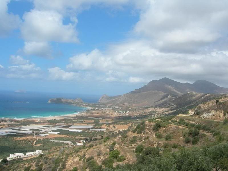
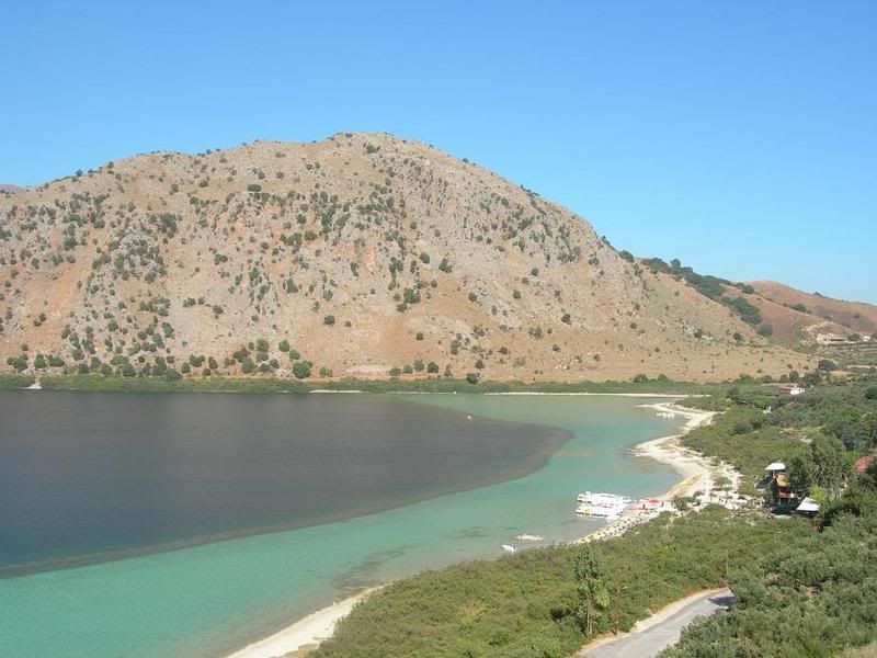
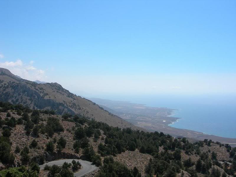
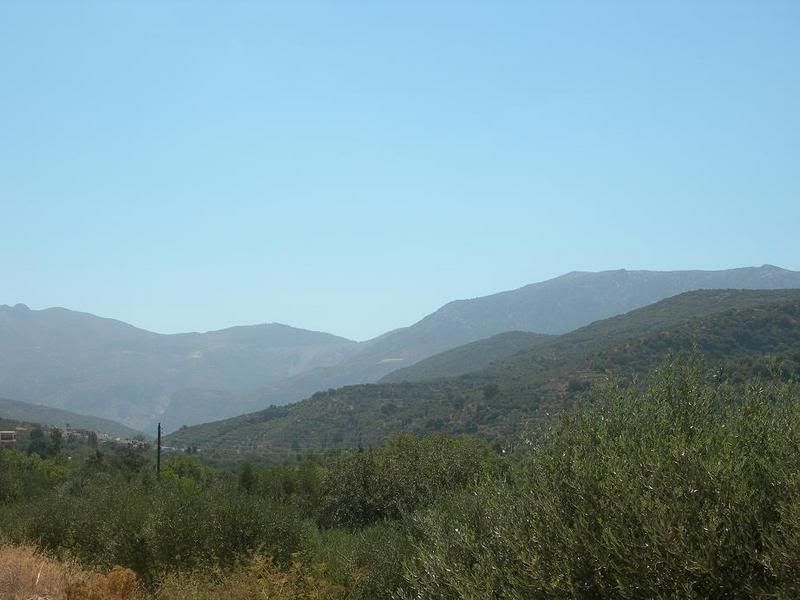
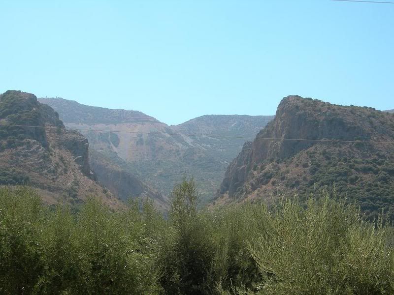
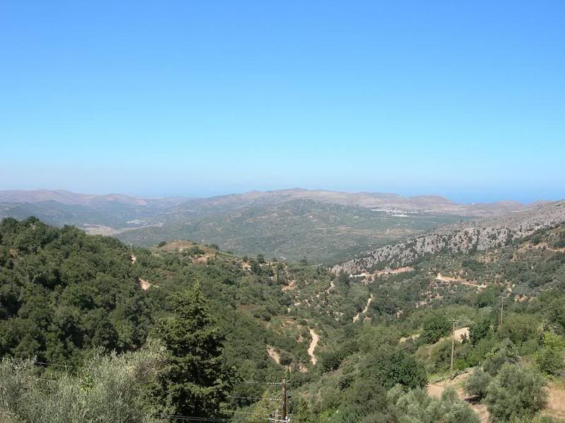
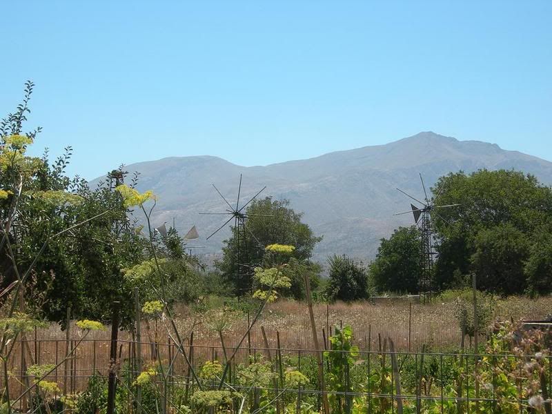
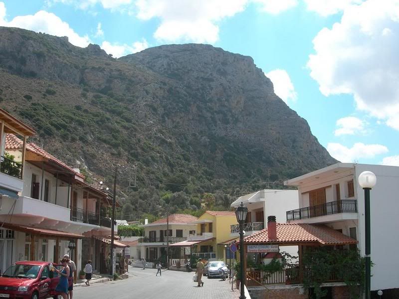
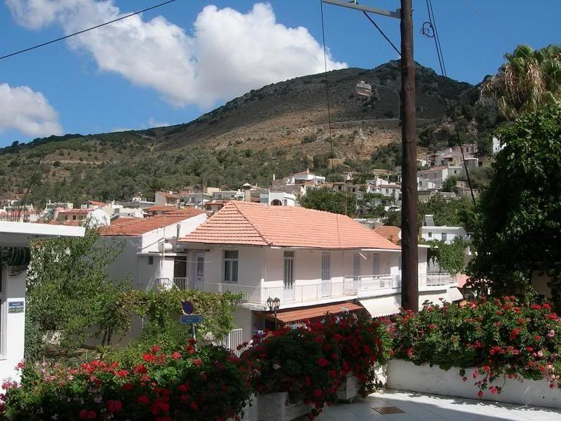
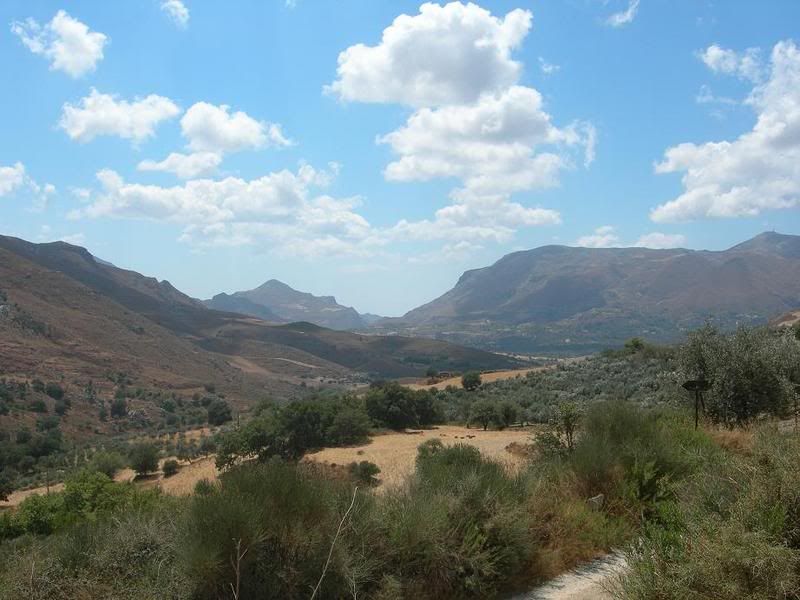
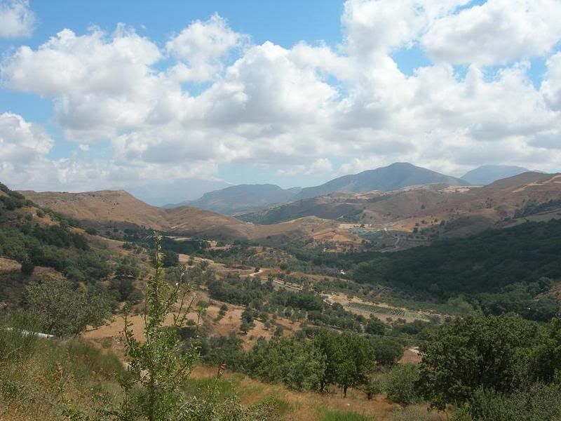
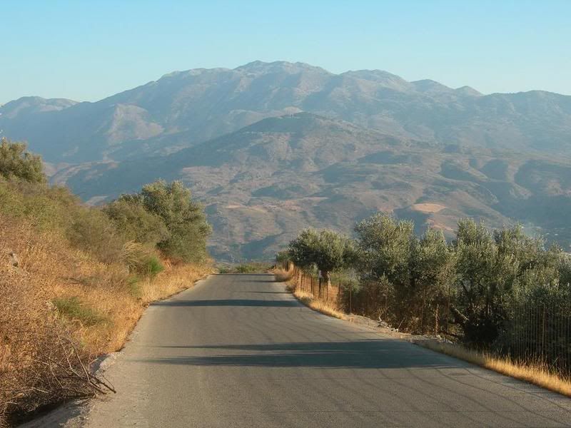
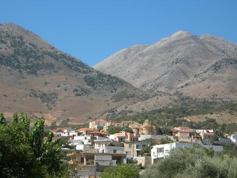
Creta es una isla que presenta cotas cercanas a los 2.500 metros en el Monte Ida
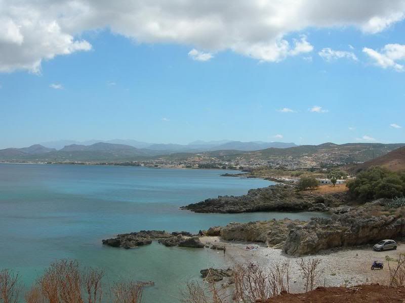
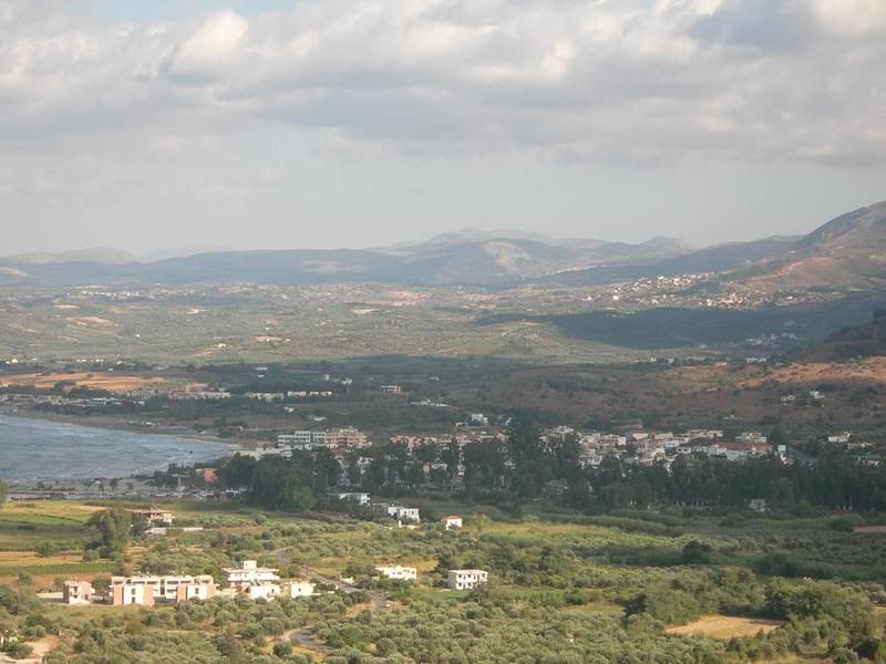
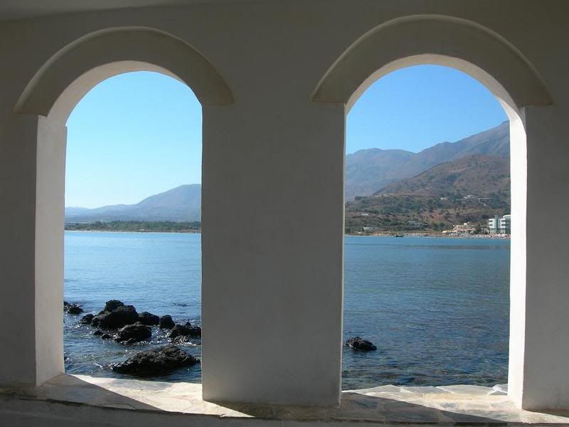
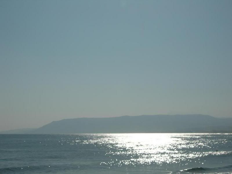
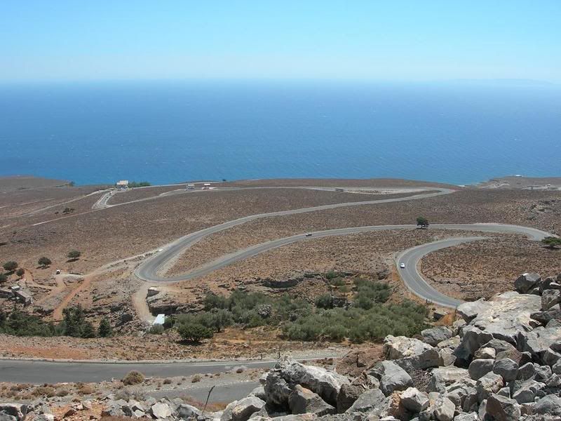
Su río más importante es el Mesara. Entre sus golfos sobresalen el de Mira bello (Mirampéllou), el Chanión (Khanión), y las bahías de Mesara y de Almyroú. Sus cabos más importantes son el Spátha (Ákra Spánta), el Líthinon (Ákra Lithino), el Stavros y el Sideros (Ákra Sideros). (2.460 metros) y en Levká Óri (2.452) y una altitud media de más de 200 metros en gran parte de la superficie de la isla. Su relieve está configurado en gran medida por la actividad sísmica, responsable de sus 1.040 kilómetros de recortadas costas y de sus llanuras fragmentadas
Clima
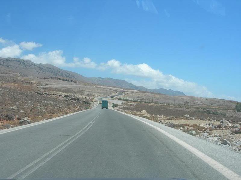
Su clima es mediterráneo, pero el norte es más húmedo que el sur debido a la menor incidencia de los rayos solares (vertiente de umbría al norte y de solana al sur); también la zona oeste (vertiente de barlovento) es más húmeda que la oriental. La forma alargada de la isla (265 kilómetros de longitud) da origen a un defícit hídrico en la zona oriental debido a que se encuentra a sotavento de los vientos del oeste.

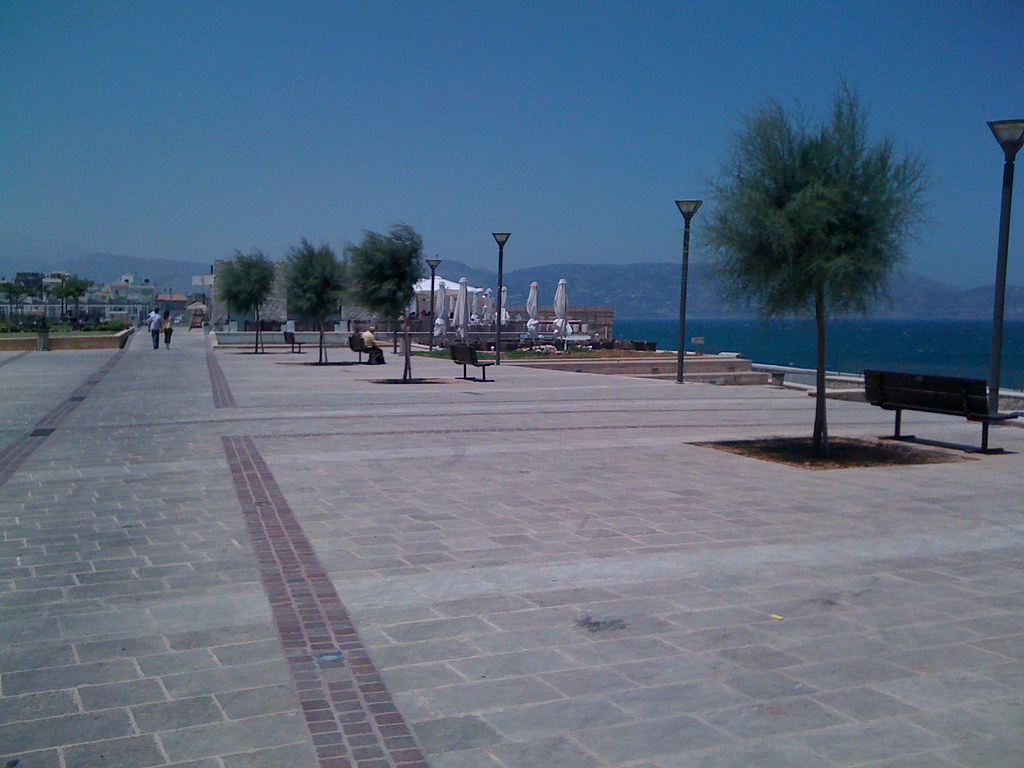
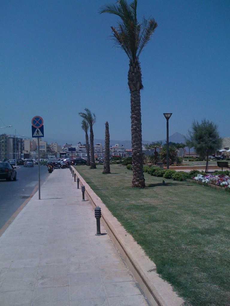
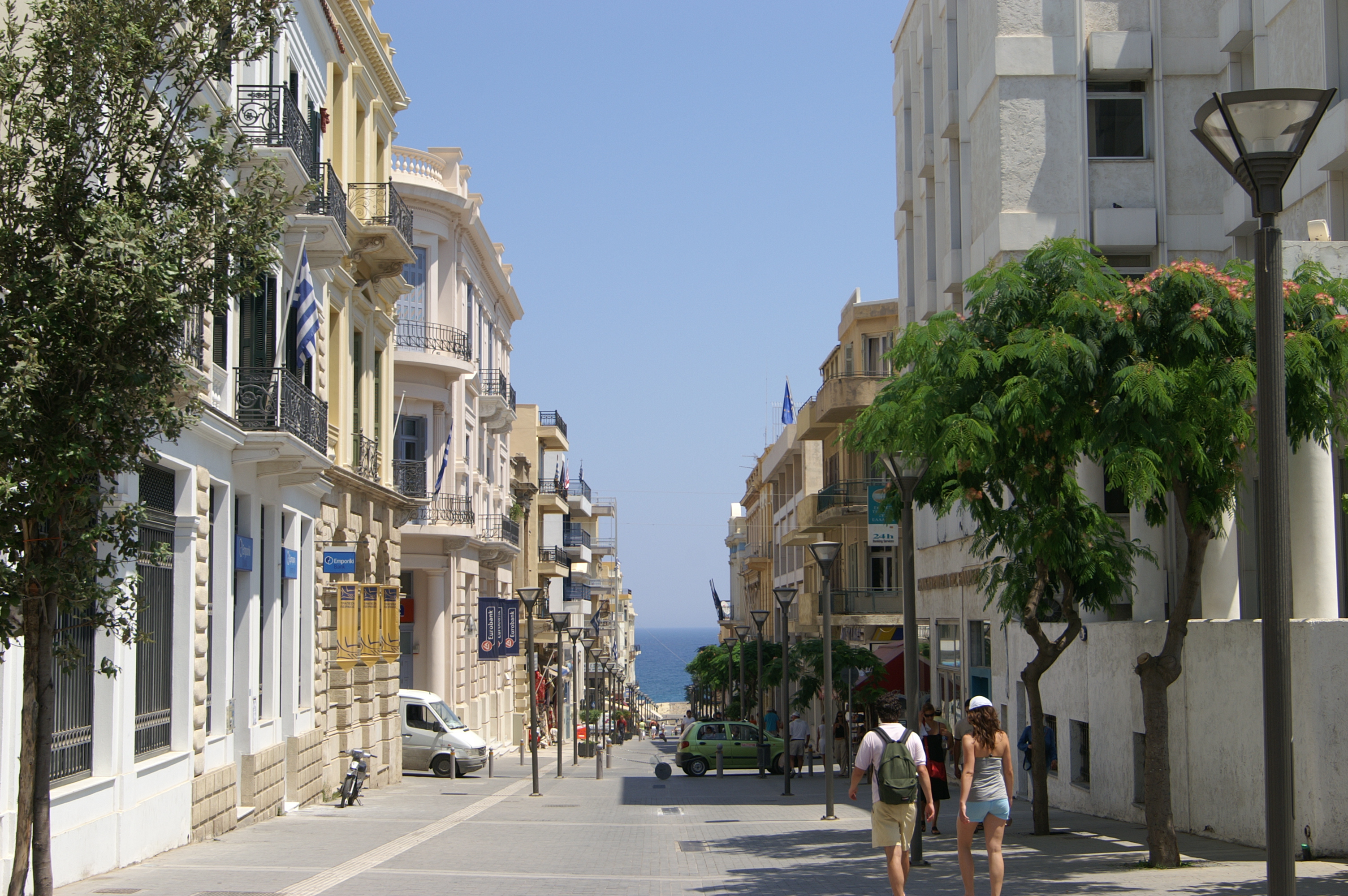
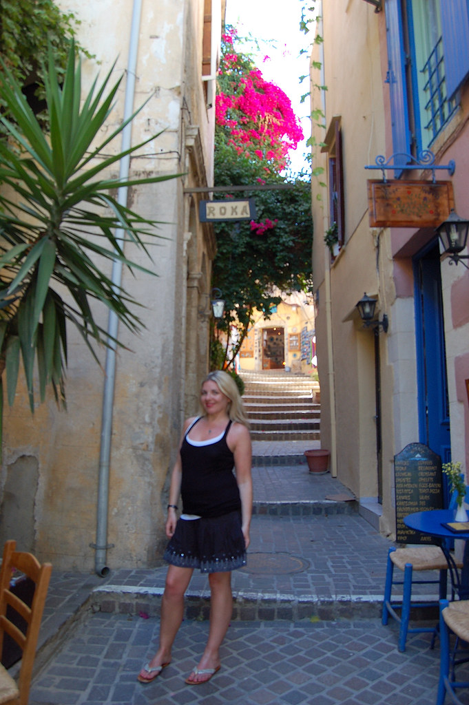
Chania . Heraklion . Rethymno . Hersonissos . Malia . Agios Nikolaos . Knossos . Elounda
Crete hotels | Crete beaches | Villages | Crete map | Crete weather | Attractions | Beaches | GREECE | Sitemap
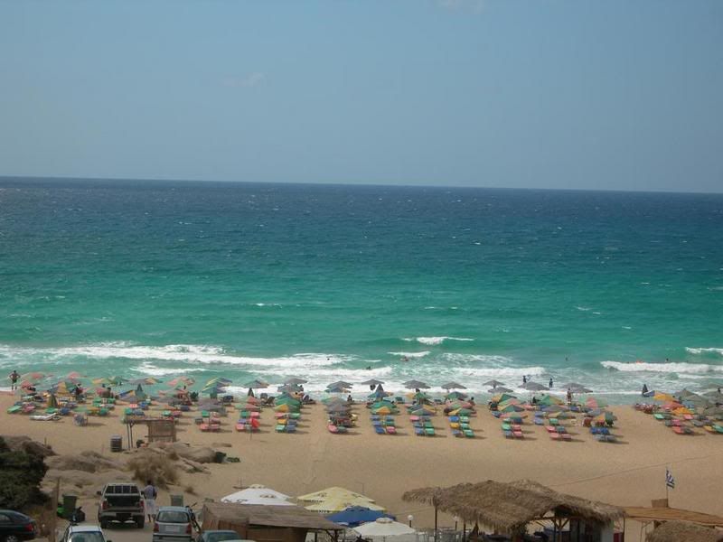
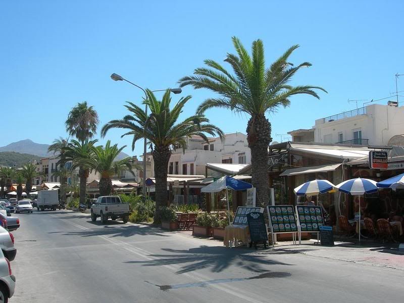
The most popular of Greek islands is located in the Aegean sea, in the Most southern point of Europe, only about 320 km from the coast of North Africa. On Crete there lie past and present close together and a lot testifies from the changeable history. In the palace of Knossos or in Heraklion with his museums, a lot waits to be discovered by you. Numerous worthwhile destinations offer interesting change to restful and sporty bath floors. The scenery is diverse with high mountains, to deep gulches, fertile levels, widen, green valleys and woods as well as marvellous miles long sandy beaches and pebble beaches before partly wildly cleft rock coasts. the people in the native country of Alexis Zorbas are down-to-earth and from especially hearty hospitality.
TOP DESTINATIONS
Chora Sfakion, Plakias, Ierapetra, Paleochora, Georgioupolis, Agia Galini, Matala, Preveli, Platanias, Sitia, Lassithi Ammoudara, Lake Kournas, Samaria Gorge, Vai beach, Agia Roumeli, Loutro, Sfakia, Kissamos, Kato Zakros, Sissi, Gramvousa, Kasteli, Mount Dikti, Agia Marina, Imbros Gorge, Bali, Balos lagoon, Stalis, Arkadi Monastery, Akrotiri, Sougia, Spinalonga, Falassarna, Kalathas, Almirida, Kalives, Kolymbari, Stalos, Agia Pelagia, Fodele, Stavros, Frangokastello, Askifou plateau, Hania, White Mountains, Stalida, Ancient Crete, Hersonisos, Elafonisi Kokkini Hani, Makrigialos, Gouves, Agia Fotia, Panormo, Anogia, Agioi Apostoloi, Plaka Apokoronas, Almyrida, Koutouloufari, Phoenix (Finix), Paleohora, Xerokambos, Kato Gouves, Gavalochori, Sfinari, Maleme, Tersanas, Gerani, Nea Chora, Analipsis, Palekastro, Kato Daratso, Kalamaki, Agia Triada,Piskopiano, Star beach, Milatos
Crete pictures (Creta) - CRETE Greece
http://www.greeka.com/crete/crete-pictures.htm
PANORAMA PICTURES OF CRETE
Crete Greece: Pictures of Crete - Photographs of Crete Island ...
.
Pictures from Crete
Crete Pictures, view pictures of Crete
Vegetación
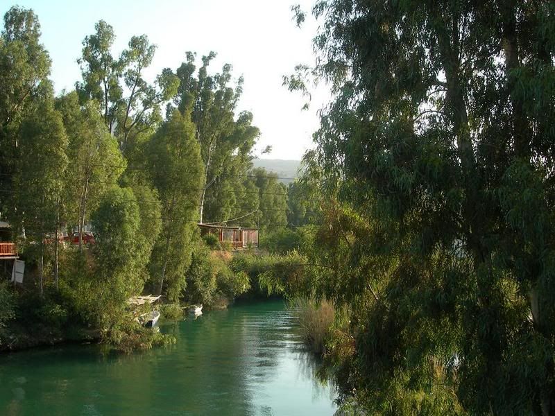
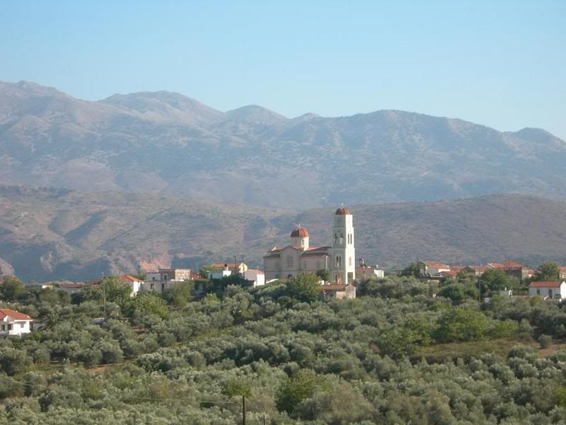
Es la típica del clima mediterráneo, encontrándose muy degradada por la acción humana. Entre la vegetación arbórea se encuentran el ciprés y el castańo; en la arbustiva las plantas aromáticas típicas del clima: salvia, tomillo y orégano. También están presentes enebros, retamas, adelfas y mirtos. En la antigüedad fue llamada como "la isla de los olivos", por la gran extensión de estos árboles y su cultivo.
Población
Según el censo de 2001 su población es de 601.131 habitantes, con una densidad de 72 habitantes por kilómetro cuadrado, inferior a la media del país (83 hab./km˛). Esta población se ha visto mermada por el éxodo rural desde mediados del siglo XX. La emigración exterior se ha dirigido hacia Atenas y el resto de países de Europa, mientras que la interior ha tenido como receptoras a las ciudades insulares de la fachada egea.. .
Gobierno y administración
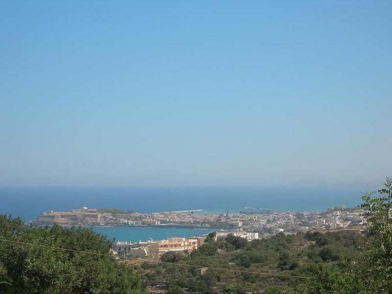
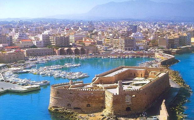
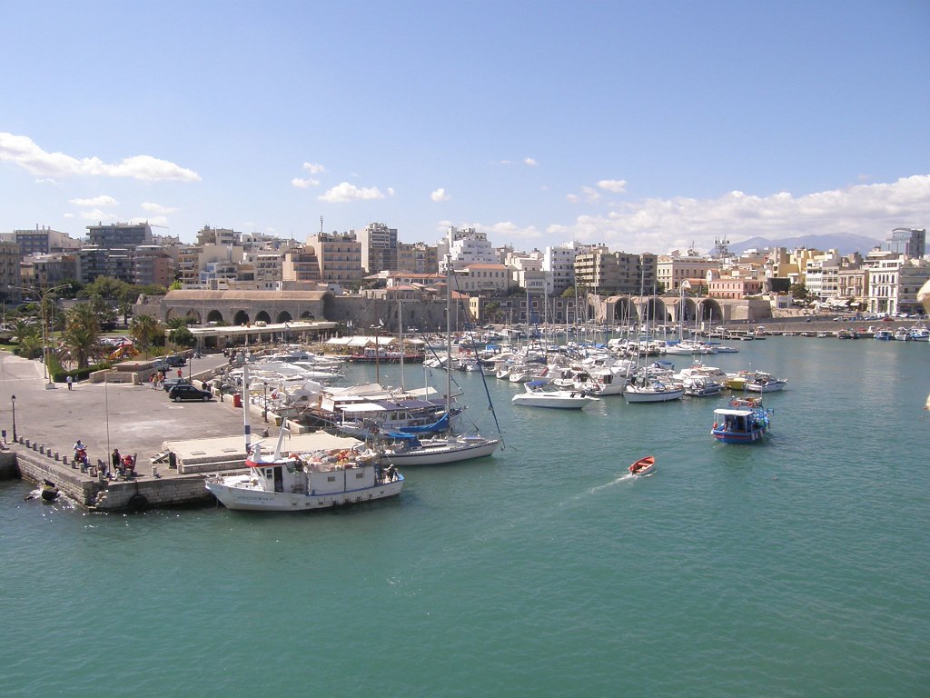
Creta es una de las regiones en que se divide Grecia, su capital es la ciudad de Heraklion y se encuentra dividida administrativamente en cuatro prefecturas o nomoi: Kania, Rethimno, Heraklion y Lasithi. Existen bases navales norteamericanas en Heraklion y en Suda Bay.
Otra ciudades importantes son Kaniá, Réthymno, Ierapetra, Agios Nikolaos, Siteia, Moires, Neápoli, Tympaki y Kissamos.

Economía
Su economía es básicamente agraria, aunque el turismo va en aumento. Existe un núcleo industrial en torno a la capital. Entre los productos agrícolas destacan las uvas pasas, además del olivo, los cereales, las hortalizas y los frutales. Su ganadería, en retroceso, es predominantemente ovina y caprina.
Historia
Prehistoria
A pesar de su situación geográfica y el favorable clima, los primeros pobladores de Creta no hicieron su aparición hasta el Neolítico, llegando en dos grandes oleadas. El tipo étnico colonizador no está relacionado con ninguna de las grandes razas, clasificándose como «mediterráneo», al igual que las gentes que poblaban las cercanas costas de Asia Menor o las vecinas islas Cícladas, cuyos pobladores progresaron durante mucho tiempo a un ritmo similar al de los cretenses. Sin embargo, a mediados del III milenio adC., ya en la Edad del Cobre, se produjeron una gran cantidad de avances en la isla que acabaron conduciendo a la brillante civilización minoica.
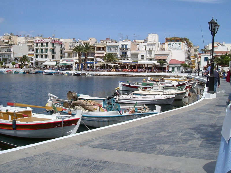
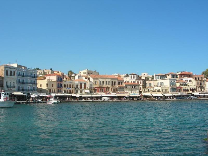
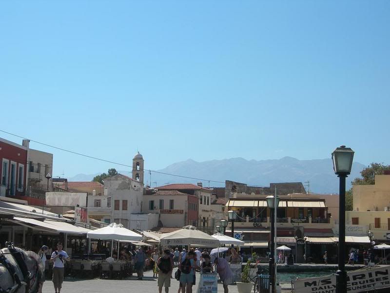
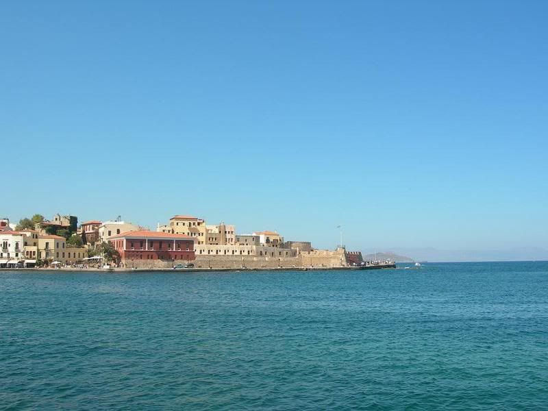
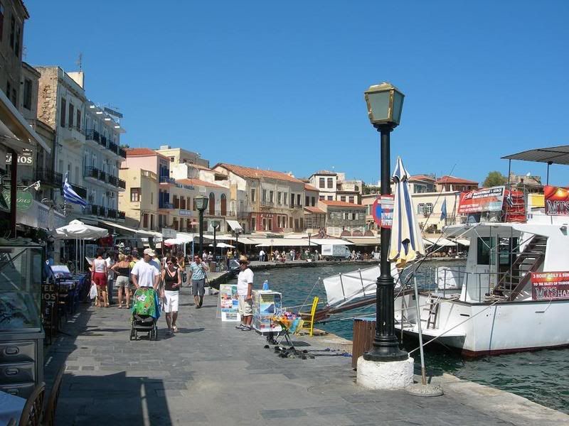
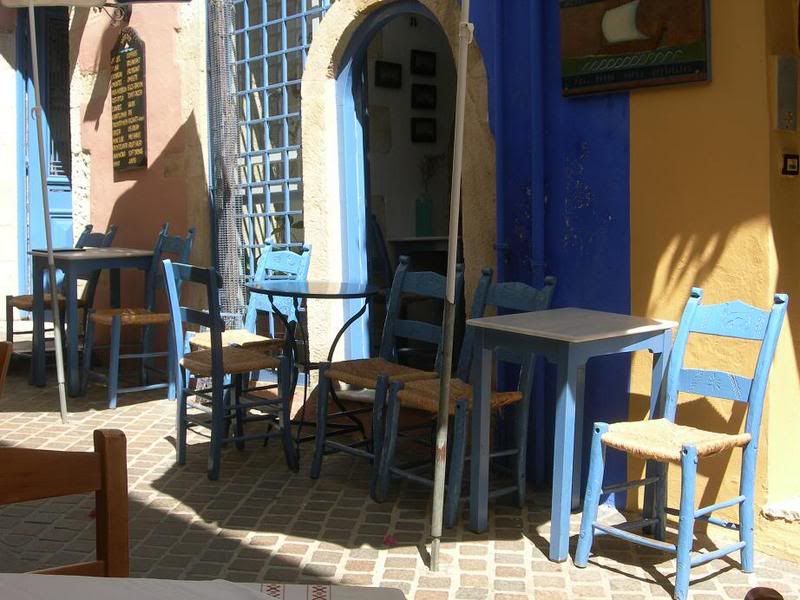
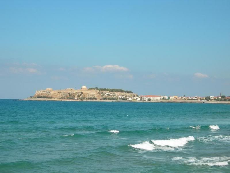
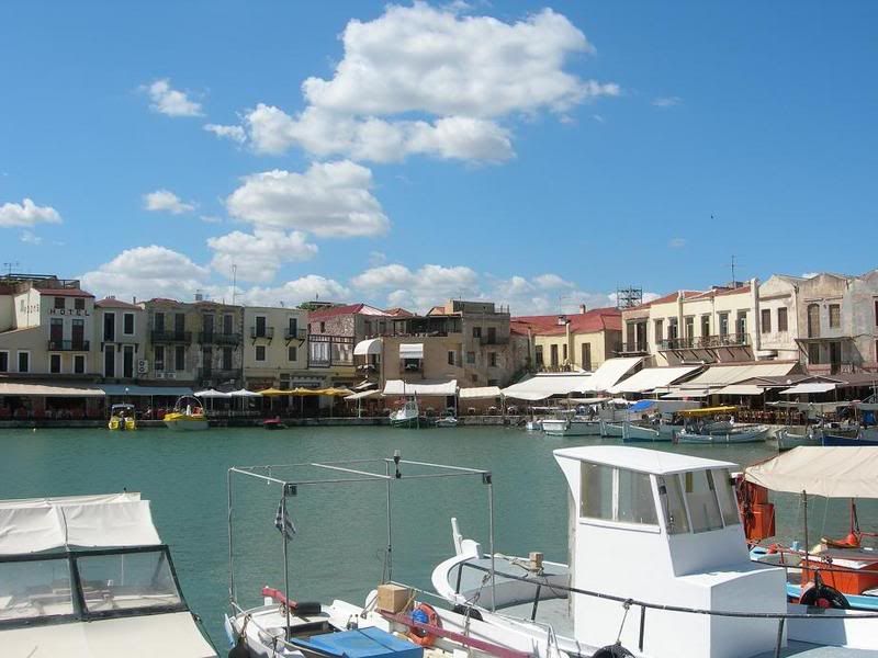
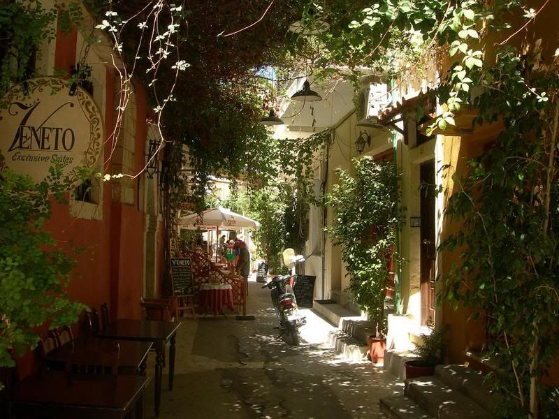
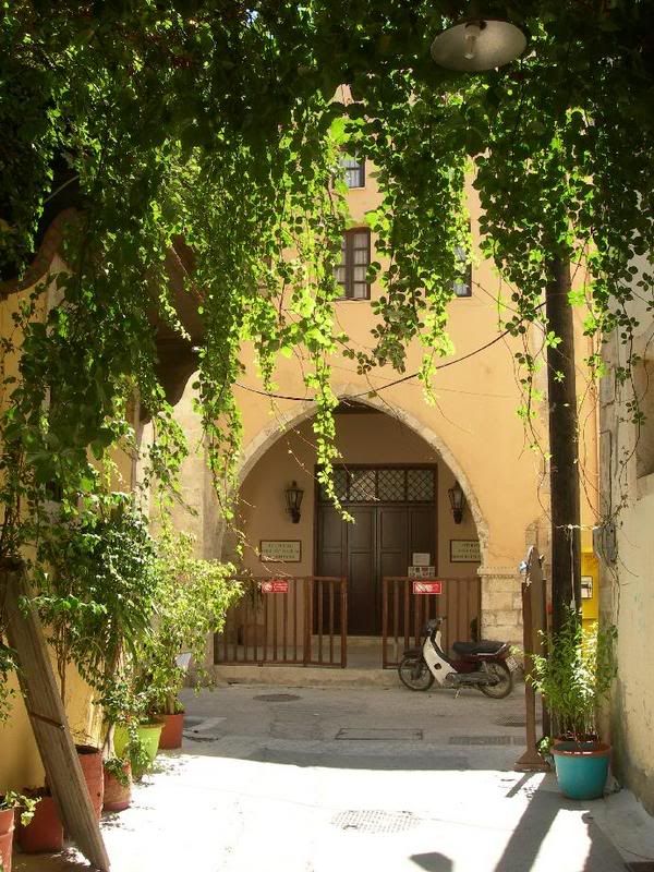
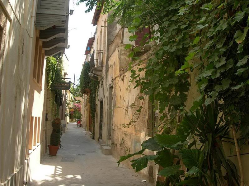
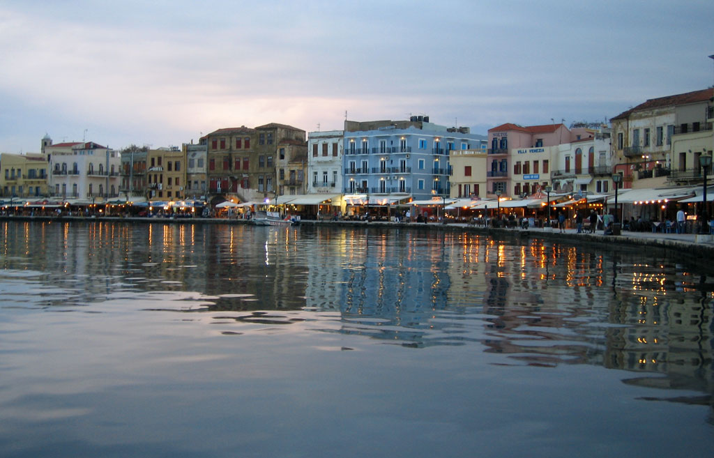
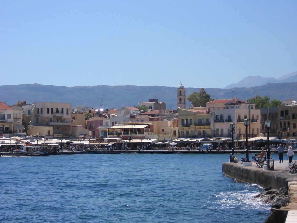
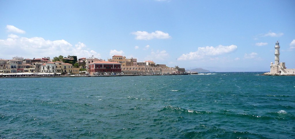
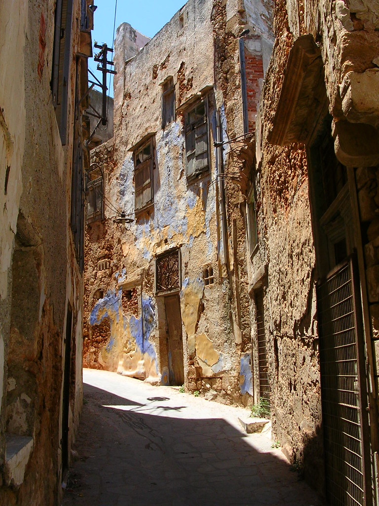
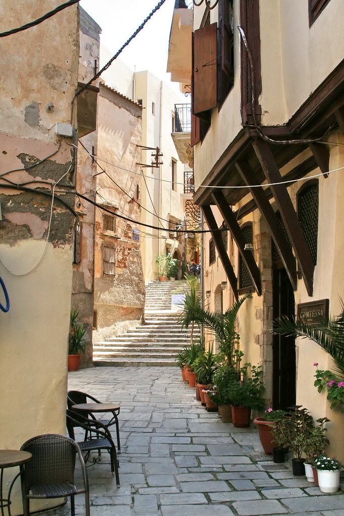
 Chania
Protohistoria y Edad Antigua
Lo más destacable es la aparición de la Civilización Minoica una de las primeras aparecidas en Europa y una de las civilizaciones prehelénicas junto a la posterior Civilización Micénica. Durante la Civilización Minoica, en la que se dieron varias fases y altibajos, Creta llegó a su máximo esplendor, siendo los siglos XVI y XV a. C., los de mayor auge. Durante ellos Creta estableció una talasocracia que se extendía hasta la Grecia peninsular, el mar Egeo, las costas de Asia Menor y zonas adyacentes como Sicilia. Durante esta época los contactos con Egipto, existentes desde anteriormente, fueron muy importantes.
Sin embargo, hacia finales del siglo XV a. C., la isla sufrió la invasión de los aqueos, quienes habían desarrollado una civilización en la Grecia continental, fundamentalmente en el Peloponeso, no exenta de fuertes influencias cretenses. Con la expansión de los invasores, los cretenses abandonaron los palacios y aparece la escritura lineal B, que se ha logrado descifrar. Los aqueos introdujeron en Creta el caballo, el carro de guerra y armas más eficaces. Aunque hacia el 1425 a. C. se produce una rebelión antiaquea, ésta resulta aplastada y Creta pasa a formar parte del mundo aqueo, iniciándose para la isla un periodo de decadencia. Artesanos, obreros y tesoros cretenses son llevados a las ciudades micénicas continentales, barajándose también la posibilidad de que una colonización de emigrados cretenses en las costas del sur de Canaán fuese el origen de los filisteos o filistenos, que aparecen en la Biblia y que dieron nombre a la región de Palestinain. Los hijos del mar o los filisteos poblaron la zona del sur lo que es hoy Gaza. La suposicion de los orígenes de los Fenicios es que descienden de los cananeos)
La decadencia de Creta, iniciada con la hegemonía aquea, se vio acentuada en el siglo XI a. C., con la invasión de los dorios, portadores del hierro. La isla pasa a ser una parte más del mundo griego, sin originalidad y dividida en ciudades rivales. Incluso en época clásica (siglo V a. C.) conserva cierto arcaísmo, como lo demuestran las Leyes de Gortina, una de las ciudades que datan de tiempos minoicos. La decadencia de la isla fue tal a partir del 500 a. C., que cayó en el olvido y no tomó parte ni en las Guerras Médicas, ni en la del Peloponeso.
Conquistada por Alejandro Magno, a su muerte, Creta gozó de cierta independencia sobre otros reinos helenísticos cercanos, pero tras la decadencia helenística la isla quedó en manos de piratas de origen siciliano, lo que provocó que los romanos se apoderasen de la isla en el 67 a. C., en una expedición comandada por Cecilio MeteloImperio Romano en el 395Imperio Bizantino.
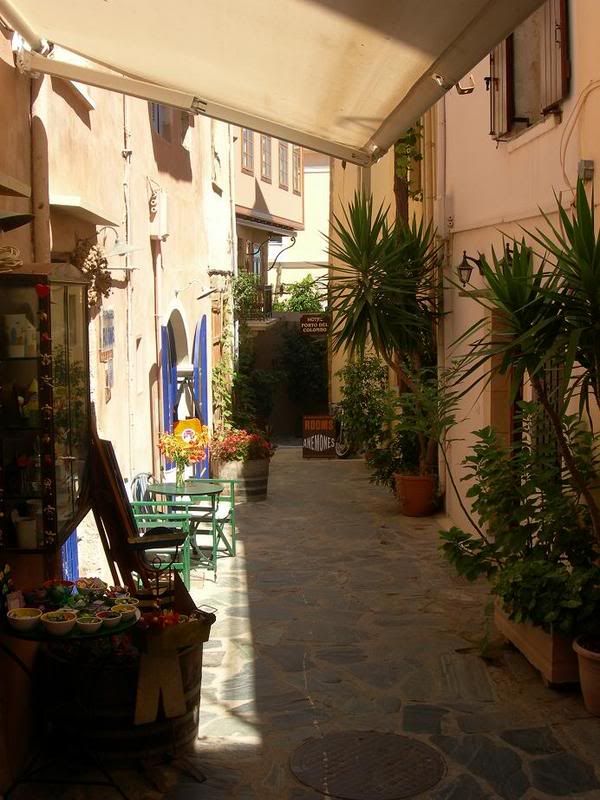
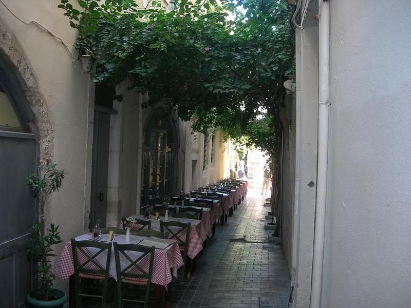
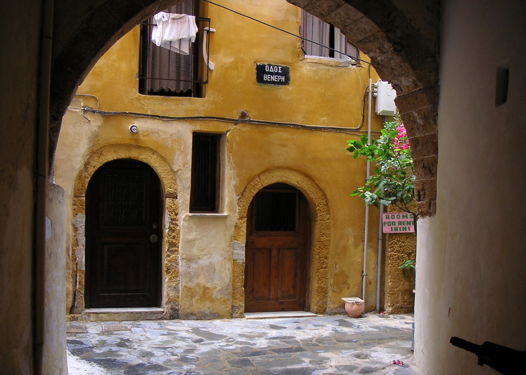
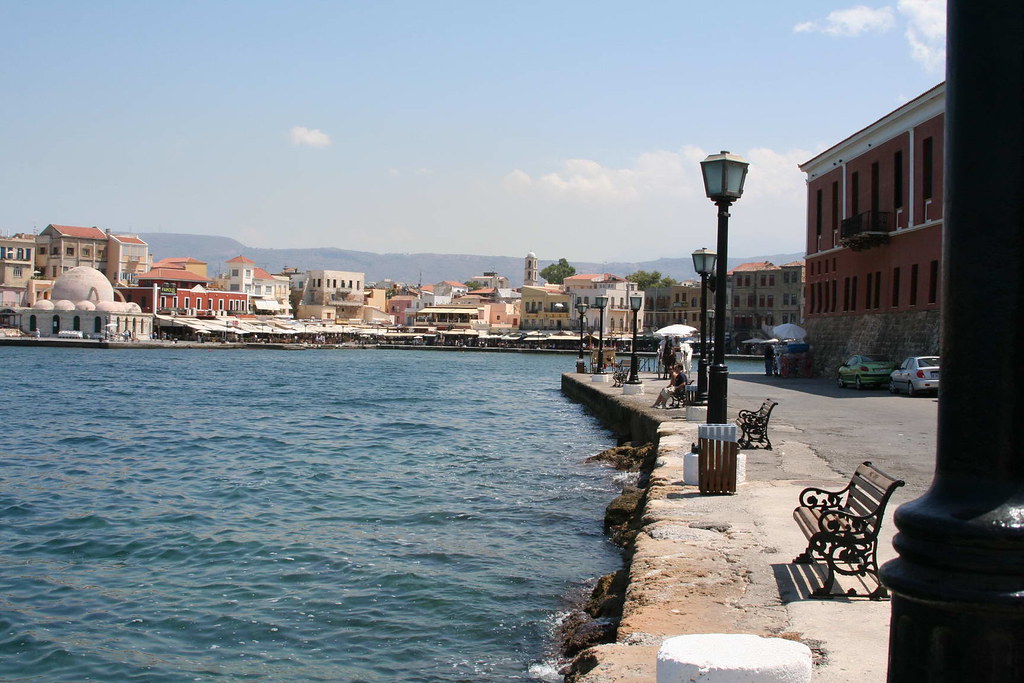
Chania
Edad Media
Se mantuvo en poder del Imperio Bizantino en el que desempeńó un papel estratégico cuando comenzaron las conquistas musulmanas en el siglo VII. Dos siglos, más tarde, en (826) cayó en poder de un grupo de musulmanes andaluces, que fundaron la base fortificada de «Jandak» (Candía) y que desde allí hostigaron a los bizantinos. El dominio musulmán duró hasta 961, cuando el emperador Nicéforo Focas reconquistó la isla, inaugurando una época de paz y estabilidad, que favoreció su desarrollo económico. Cuando Bizancio cayó en manos de los cruzados en 1204, iniciándose el llamado Imperio Latino, la isla fue adjudicada a Bonifacio de Montferrato quien rápidamente la vendió a Venecia que la convirtió en el punto estratégico clave de sus intereses en el Mediterráneo oriental y la poseyó hasta mediados del siglo XVII.
Parece ser que los musulmanes andaluces (según AL NUWARYRI, Nihayat al Arab II.p 274), fueron los cordobeses que después de las consecuencias del motín del arrabal, fueron desterrados a Alejandría en 813/4, y hacerse dueńos de la ciudad. En ella se presentó Abd Allah ben Tahir, según se narró en la historia de la dinastía abbasi, en los días del califa Al-mamun ben Al-Raxid, les expulsó de Alejandría y los trasladó hasta Creta en 826. Los cordobeses cultivaron la isla, proclamaron a uno de los suyos rey y armaron hasta cuarenta barcos con lo que asaltaron las islas cercanas, próximas a Constantinopla. Penetraban en las islas cogían botín y cautivos, sin que el emperador de Constantinopla tuviese poder para evitarlo.
Edad Moderna
Desde el siglo XV, Venecia hubo de hacer frente al expansionismo otomano, al que contuvo hasta que en 1645 los turcos desembarcaron en la isla iniciando su conquista, finalizada cuando los últimos reductos venecianos sucumbieron en 1669. Se inició para Creta un nuevo periodo de declive.
Edad Contemporánea
El declive que se inició con la completa dominación otomana, estuvo jalonado por revueltas que estallaron a finales del siglo XVIII y principios del XIX. Durante el periodo de 1832 a 1840 la isla estuvo bajo control del gobierno egipcio y conoció una cierta mejora que no se consolidó al volver a la tutela turca.
Tras el estatuto de 1868, respaldado por el congreso de Berlín de 1878, y a consecuencia de una nueva revuelta de la población griega, se firmó el «Pacto de Halepa» que supuso un cierto avance hacia la autonomía y un gobierno representativo, bajo la supervisión de las potencias europeas. Sin embargo, la mala gestión de las autoridades turcas provocó en 1897 un nuevo levantamiento, esta vez general, que contó con el apoyo militar de Grecia. Aunque el levantamiento acabó siendo aplastado, la intervención de las grandes potencias obligó a las tropas turcas a abandonar la isla en 1898 y a concederle el estatuto de principado autónomo, regido por el príncipe Jorge de Grecia, bajo soberanía otomana. A cambio Grecia hubo de renunciar a sus aspiraciones con respecto a Creta.
Una nueva revuelta que aspiraba a la unión con Grecia se produjo en 1905, liderada por Eleftherios Venizelos, que culminó en la expulsión del príncipe Jorge. En 1908, los diputados cretenses proclamaron la unión con la Grecia continental. Dicha unión no se formalizó hasta el final de las Guerras Balcánicas en 1913, momento desde el que Creta forma parte del estado griego.
Durante la II Guerra Mundial, la isla fue escenario de la Batalla de Creta.
Creta y la Mitología
Según la mitología griega, Rea ocultó a Zeus en el monte Ida, situado en el centro de la isla.
El mismo dios llegó a Creta tras raptar a Europa y de su unión nacieron tres hijos, uno de los cuales fue Minos, cuya esposa dio a luz al Minotauro, que luego fue encerrado en el Laberinto.
También existe una leyenda que se desarrolla en esta isla sobre Ícaro y Dédalo.
Dáimôn en Creta fantásticas criaturas híbridas.
Lugareńos ilustres
El Greco, pintor.
Nikos Kazantzakis, escritor.
Eleftherios Venizelos, político.
Odysseas Elytis, poeta, Premio Nobel de Literatura 1979.
Nana Mouskouri, cantante.

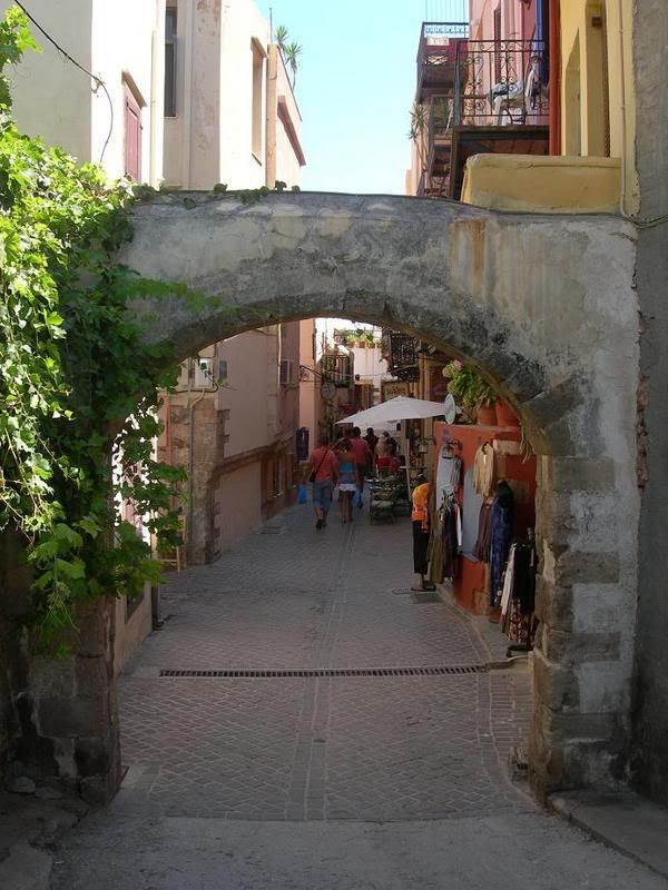
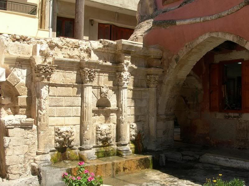
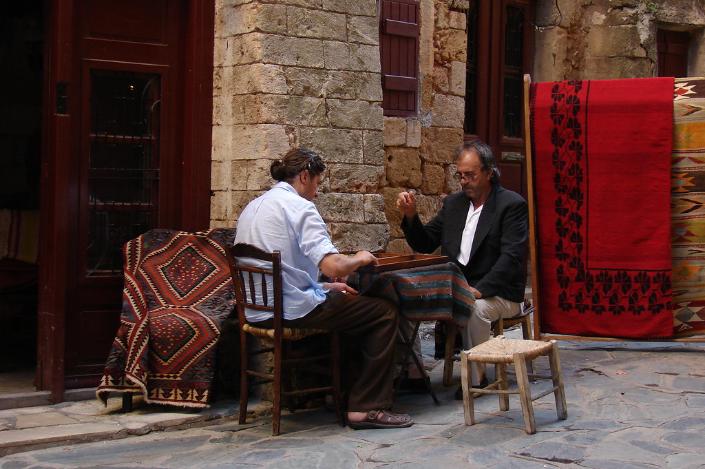
Chania
Monumentos y lugares de interés
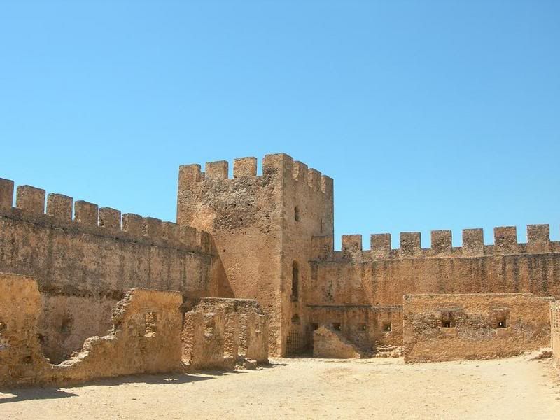
Palacio de Cnosos
Otros yacimientos arqueológicos minoicos: Festos, Malia y Hagia Triada.
Museo arqueológico de Hania, en una antigua iglesia veneciana.
Monasterio de Toplou.
Universidad de Creta
Universidad Técnica de Creta
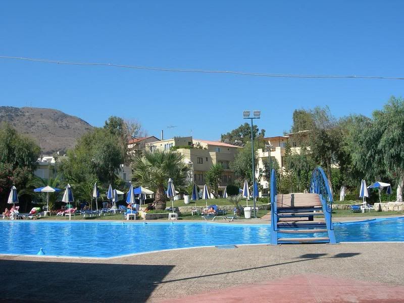
Crete is one of the most popular holiday destinations in Greece. Fifteen percent of all arrivals in Greece come through the city of Heraklion (port and airport), while charter journeys to Heraklion last year made up 20% of all charter flights in Greece. Overall, more than two million tourists visited Crete last year, and this increase in tourism is reflected on the number of hotel beds, rising by 53% in the period between 1986 to 1991, when the rest of Greece saw increases of only 25%. Today, the island's tourism infrastructure caters to all tastes, including a very wide range of accommodation; the island's facilities take in large luxury hotels with their complete facilities swimming pools, sports and recreation, smaller family-owned apartments, camping facilities and others. Visitors reach the island via two international airports in Heraklion and Chania, or by boat to the main ports of Heraklion, Chania, Rethimno, and Agios Nikolaos.
Wikimedia Commons / Creta.
History of Crete
Battle of Crete
Cretan Greek
Cretan wine
Minoan civilization
Linear B
Knossos
Phaistos
Music of Crete
List of novels set in Crete
Minoan eruption
Cretan Turks
Cretan dwarf elephant
OFI Crete
Technical University of Crete
TEI of Crete
University of Crete
Former countries in Europe after 1815
List of Greek islands
Crete travel guide from Wikitravel
IraklionPortal.gr Portal for Heraklion & Crete
(Wikipedia y otras fuentes)
Creta

Map of Crete
Western Crete Map ---Central Crete Map ---Eastern Crete Map
www.alpha-omegaonline.com/map.htm
CRETE
Accommodation . Car rental . Virtual tour . Photo gallery . Travel guide . Inquiries
Maps of Crete
Chania or Hania . Rethymnon . HeraklionAgios Nikolaos
Accommodation
Hotels / apartments . Villas
Car rental
Crete- Heraklion . Chania - Rethymnon
Travel guideGeneral information . Practical information
The routes
Hania . Kissamos . Chora Sfakion . Rethymnon . Ierapetra . Heraklion . Agios Nikolaos

Other sites of the groupProperty in Crete --- Immobilier en Crčte --- Alpha & Omega in UK
Site map
Localización Mar Mediterráneo
Coordenadas 35°N 24°E / 35, 24
Archipiélago Cretense
Área 8.336 km˛
Punto más alto Psiloreitis 2.456 msnm
Prefecturas Kania . Heraklion . Lasithi . Rétino
Ciudad más poblada Heraklion (137.711)
Map of Crete
Western Crete Map ---Central Crete Map ---Eastern Crete Map
www.alpha-omegaonline.com/map.htm
CRETE
Accommodation . Car rental . Virtual tour . Photo gallery . Travel guide . Inquiries
Maps of Crete
Chania or Hania . Rethymnon . HeraklionAgios Nikolaos
Accommodation
Hotels / apartments . Villas
Car rental
Crete- Heraklion . Chania - Rethymnon
Travel guideGeneral information . Practical information
The routes
Hania . Kissamos . Chora Sfakion . Rethymnon . Ierapetra . Heraklion . Agios Nikolaos
Other sites of the groupProperty in Crete --- Immobilier en Crčte --- Alpha & Omega in UK
Site map
Localización Mar Mediterráneo
Coordenadas 35°N 24°E / 35, 24
Archipiélago Cretense
Área 8.336 km˛
Punto más alto Psiloreitis 2.456 msnm
Prefecturas Kania . Heraklion . Lasithi . Rétino
Ciudad más poblada Heraklion (137.711)
Creta (en griego Κρήτη / Kriti) es una isla situada en el mar Egeo, la isla más grande de Grecia y la quinta en tamańo del mar Mediterráneo, también conocida hasta inicios del siglo XX con el nombre de Candia topónimo deriva del latín candidus (blanco) que le fue dado durante el medioevo inicialmente por los marinos y comerciantes italianos por la blancura de su tierra era llamada "cándida".
Posee una superficie de 8.300 kilómetros cuadrados, una costa de 1.040 kilómetros, y una población de unos 600.000 habitantes.
Geografía
Creta es una isla que presenta cotas cercanas a los 2.500 metros en el Monte Ida
Su río más importante es el Mesara. Entre sus golfos sobresalen el de Mira bello (Mirampéllou), el Chanión (Khanión), y las bahías de Mesara y de Almyroú. Sus cabos más importantes son el Spátha (Ákra Spánta), el Líthinon (Ákra Lithino), el Stavros y el Sideros (Ákra Sideros). (2.460 metros) y en Levká Óri (2.452) y una altitud media de más de 200 metros en gran parte de la superficie de la isla. Su relieve está configurado en gran medida por la actividad sísmica, responsable de sus 1.040 kilómetros de recortadas costas y de sus llanuras fragmentadas

Su clima es mediterráneo, pero el norte es más húmedo que el sur debido a la menor incidencia de los rayos solares (vertiente de umbría al norte y de solana al sur); también la zona oeste (vertiente de barlovento) es más húmeda que la oriental. La forma alargada de la isla (265 kilómetros de longitud) da origen a un defícit hídrico en la zona oriental debido a que se encuentra a sotavento de los vientos del oeste.
Chania . Heraklion . Rethymno . Hersonissos . Malia . Agios Nikolaos . Knossos . Elounda
Crete hotels | Crete beaches | Villages | Crete map | Crete weather | Attractions | Beaches | GREECE | Sitemap
The most popular of Greek islands is located in the Aegean sea, in the Most southern point of Europe, only about 320 km from the coast of North Africa. On Crete there lie past and present close together and a lot testifies from the changeable history. In the palace of Knossos or in Heraklion with his museums, a lot waits to be discovered by you. Numerous worthwhile destinations offer interesting change to restful and sporty bath floors. The scenery is diverse with high mountains, to deep gulches, fertile levels, widen, green valleys and woods as well as marvellous miles long sandy beaches and pebble beaches before partly wildly cleft rock coasts. the people in the native country of Alexis Zorbas are down-to-earth and from especially hearty hospitality.
TOP DESTINATIONS
Chora Sfakion, Plakias, Ierapetra, Paleochora, Georgioupolis, Agia Galini, Matala, Preveli, Platanias, Sitia, Lassithi Ammoudara, Lake Kournas, Samaria Gorge, Vai beach, Agia Roumeli, Loutro, Sfakia, Kissamos, Kato Zakros, Sissi, Gramvousa, Kasteli, Mount Dikti, Agia Marina, Imbros Gorge, Bali, Balos lagoon, Stalis, Arkadi Monastery, Akrotiri, Sougia, Spinalonga, Falassarna, Kalathas, Almirida, Kalives, Kolymbari, Stalos, Agia Pelagia, Fodele, Stavros, Frangokastello, Askifou plateau, Hania, White Mountains, Stalida, Ancient Crete, Hersonisos, Elafonisi Kokkini Hani, Makrigialos, Gouves, Agia Fotia, Panormo, Anogia, Agioi Apostoloi, Plaka Apokoronas, Almyrida, Koutouloufari, Phoenix (Finix), Paleohora, Xerokambos, Kato Gouves, Gavalochori, Sfinari, Maleme, Tersanas, Gerani, Nea Chora, Analipsis, Palekastro, Kato Daratso, Kalamaki, Agia Triada,Piskopiano, Star beach, Milatos
Crete pictures (Creta) - CRETE Greece
http://www.greeka.com/crete/crete-pictures.htm
PANORAMA PICTURES OF CRETE
Crete Greece: Pictures of Crete - Photographs of Crete Island ...
.
Pictures from Crete
Crete Pictures, view pictures of Crete
Es la típica del clima mediterráneo, encontrándose muy degradada por la acción humana. Entre la vegetación arbórea se encuentran el ciprés y el castańo; en la arbustiva las plantas aromáticas típicas del clima: salvia, tomillo y orégano. También están presentes enebros, retamas, adelfas y mirtos. En la antigüedad fue llamada como "la isla de los olivos", por la gran extensión de estos árboles y su cultivo.
Población
Según el censo de 2001 su población es de 601.131 habitantes, con una densidad de 72 habitantes por kilómetro cuadrado, inferior a la media del país (83 hab./km˛). Esta población se ha visto mermada por el éxodo rural desde mediados del siglo XX. La emigración exterior se ha dirigido hacia Atenas y el resto de países de Europa, mientras que la interior ha tenido como receptoras a las ciudades insulares de la fachada egea.. .
Gobierno y administración
Creta es una de las regiones en que se divide Grecia, su capital es la ciudad de Heraklion y se encuentra dividida administrativamente en cuatro prefecturas o nomoi: Kania, Rethimno, Heraklion y Lasithi. Existen bases navales norteamericanas en Heraklion y en Suda Bay.
Otra ciudades importantes son Kaniá, Réthymno, Ierapetra, Agios Nikolaos, Siteia, Moires, Neápoli, Tympaki y Kissamos.

Su economía es básicamente agraria, aunque el turismo va en aumento. Existe un núcleo industrial en torno a la capital. Entre los productos agrícolas destacan las uvas pasas, además del olivo, los cereales, las hortalizas y los frutales. Su ganadería, en retroceso, es predominantemente ovina y caprina.
Historia
Prehistoria
A pesar de su situación geográfica y el favorable clima, los primeros pobladores de Creta no hicieron su aparición hasta el Neolítico, llegando en dos grandes oleadas. El tipo étnico colonizador no está relacionado con ninguna de las grandes razas, clasificándose como «mediterráneo», al igual que las gentes que poblaban las cercanas costas de Asia Menor o las vecinas islas Cícladas, cuyos pobladores progresaron durante mucho tiempo a un ritmo similar al de los cretenses. Sin embargo, a mediados del III milenio adC., ya en la Edad del Cobre, se produjeron una gran cantidad de avances en la isla que acabaron conduciendo a la brillante civilización minoica.
ChaniaLo más destacable es la aparición de la Civilización Minoica una de las primeras aparecidas en Europa y una de las civilizaciones prehelénicas junto a la posterior Civilización Micénica. Durante la Civilización Minoica, en la que se dieron varias fases y altibajos, Creta llegó a su máximo esplendor, siendo los siglos XVI y XV a. C., los de mayor auge. Durante ellos Creta estableció una talasocracia que se extendía hasta la Grecia peninsular, el mar Egeo, las costas de Asia Menor y zonas adyacentes como Sicilia. Durante esta época los contactos con Egipto, existentes desde anteriormente, fueron muy importantes.
Sin embargo, hacia finales del siglo XV a. C., la isla sufrió la invasión de los aqueos, quienes habían desarrollado una civilización en la Grecia continental, fundamentalmente en el Peloponeso, no exenta de fuertes influencias cretenses. Con la expansión de los invasores, los cretenses abandonaron los palacios y aparece la escritura lineal B, que se ha logrado descifrar. Los aqueos introdujeron en Creta el caballo, el carro de guerra y armas más eficaces. Aunque hacia el 1425 a. C. se produce una rebelión antiaquea, ésta resulta aplastada y Creta pasa a formar parte del mundo aqueo, iniciándose para la isla un periodo de decadencia. Artesanos, obreros y tesoros cretenses son llevados a las ciudades micénicas continentales, barajándose también la posibilidad de que una colonización de emigrados cretenses en las costas del sur de Canaán fuese el origen de los filisteos o filistenos, que aparecen en la Biblia y que dieron nombre a la región de Palestinain. Los hijos del mar o los filisteos poblaron la zona del sur lo que es hoy Gaza. La suposicion de los orígenes de los Fenicios es que descienden de los cananeos)
La decadencia de Creta, iniciada con la hegemonía aquea, se vio acentuada en el siglo XI a. C., con la invasión de los dorios, portadores del hierro. La isla pasa a ser una parte más del mundo griego, sin originalidad y dividida en ciudades rivales. Incluso en época clásica (siglo V a. C.) conserva cierto arcaísmo, como lo demuestran las Leyes de Gortina, una de las ciudades que datan de tiempos minoicos. La decadencia de la isla fue tal a partir del 500 a. C., que cayó en el olvido y no tomó parte ni en las Guerras Médicas, ni en la del Peloponeso.
Conquistada por Alejandro Magno, a su muerte, Creta gozó de cierta independencia sobre otros reinos helenísticos cercanos, pero tras la decadencia helenística la isla quedó en manos de piratas de origen siciliano, lo que provocó que los romanos se apoderasen de la isla en el 67 a. C., en una expedición comandada por Cecilio MeteloImperio Romano en el 395Imperio Bizantino.
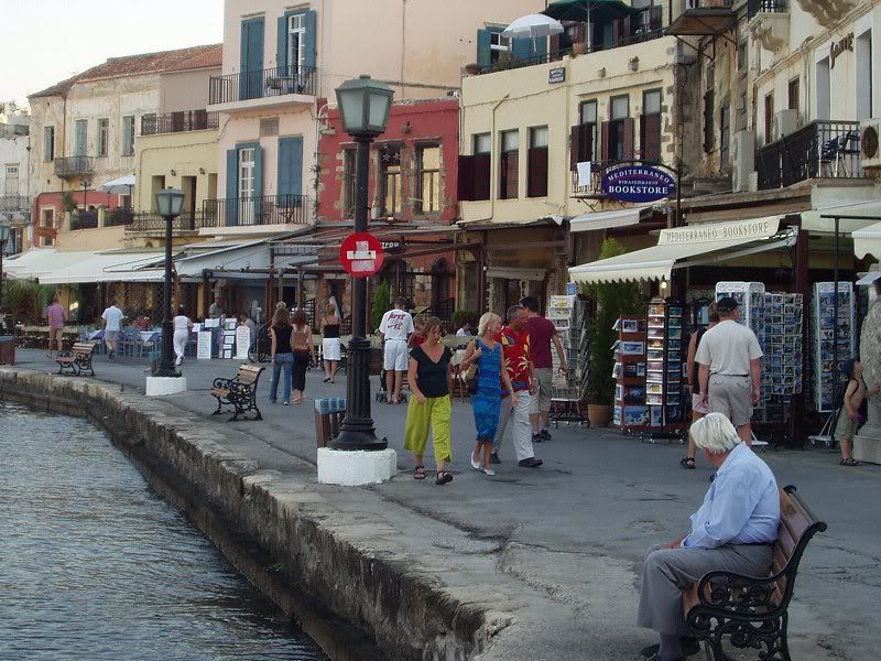
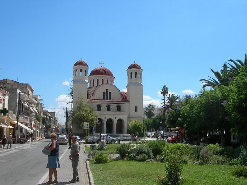
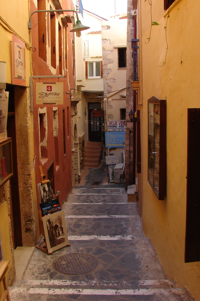
Chania
Se mantuvo en poder del Imperio Bizantino en el que desempeńó un papel estratégico cuando comenzaron las conquistas musulmanas en el siglo VII. Dos siglos, más tarde, en (826) cayó en poder de un grupo de musulmanes andaluces, que fundaron la base fortificada de «Jandak» (Candía) y que desde allí hostigaron a los bizantinos. El dominio musulmán duró hasta 961, cuando el emperador Nicéforo Focas reconquistó la isla, inaugurando una época de paz y estabilidad, que favoreció su desarrollo económico. Cuando Bizancio cayó en manos de los cruzados en 1204, iniciándose el llamado Imperio Latino, la isla fue adjudicada a Bonifacio de Montferrato quien rápidamente la vendió a Venecia que la convirtió en el punto estratégico clave de sus intereses en el Mediterráneo oriental y la poseyó hasta mediados del siglo XVII.
Parece ser que los musulmanes andaluces (según AL NUWARYRI, Nihayat al Arab II.p 274), fueron los cordobeses que después de las consecuencias del motín del arrabal, fueron desterrados a Alejandría en 813/4, y hacerse dueńos de la ciudad. En ella se presentó Abd Allah ben Tahir, según se narró en la historia de la dinastía abbasi, en los días del califa Al-mamun ben Al-Raxid, les expulsó de Alejandría y los trasladó hasta Creta en 826. Los cordobeses cultivaron la isla, proclamaron a uno de los suyos rey y armaron hasta cuarenta barcos con lo que asaltaron las islas cercanas, próximas a Constantinopla. Penetraban en las islas cogían botín y cautivos, sin que el emperador de Constantinopla tuviese poder para evitarlo.
Edad Moderna
Desde el siglo XV, Venecia hubo de hacer frente al expansionismo otomano, al que contuvo hasta que en 1645 los turcos desembarcaron en la isla iniciando su conquista, finalizada cuando los últimos reductos venecianos sucumbieron en 1669. Se inició para Creta un nuevo periodo de declive.
Edad Contemporánea
El declive que se inició con la completa dominación otomana, estuvo jalonado por revueltas que estallaron a finales del siglo XVIII y principios del XIX. Durante el periodo de 1832 a 1840 la isla estuvo bajo control del gobierno egipcio y conoció una cierta mejora que no se consolidó al volver a la tutela turca.
Tras el estatuto de 1868, respaldado por el congreso de Berlín de 1878, y a consecuencia de una nueva revuelta de la población griega, se firmó el «Pacto de Halepa» que supuso un cierto avance hacia la autonomía y un gobierno representativo, bajo la supervisión de las potencias europeas. Sin embargo, la mala gestión de las autoridades turcas provocó en 1897 un nuevo levantamiento, esta vez general, que contó con el apoyo militar de Grecia. Aunque el levantamiento acabó siendo aplastado, la intervención de las grandes potencias obligó a las tropas turcas a abandonar la isla en 1898 y a concederle el estatuto de principado autónomo, regido por el príncipe Jorge de Grecia, bajo soberanía otomana. A cambio Grecia hubo de renunciar a sus aspiraciones con respecto a Creta.
Una nueva revuelta que aspiraba a la unión con Grecia se produjo en 1905, liderada por Eleftherios Venizelos, que culminó en la expulsión del príncipe Jorge. En 1908, los diputados cretenses proclamaron la unión con la Grecia continental. Dicha unión no se formalizó hasta el final de las Guerras Balcánicas en 1913, momento desde el que Creta forma parte del estado griego.
Durante la II Guerra Mundial, la isla fue escenario de la Batalla de Creta.
Creta y la Mitología
Según la mitología griega, Rea ocultó a Zeus en el monte Ida, situado en el centro de la isla.
El mismo dios llegó a Creta tras raptar a Europa y de su unión nacieron tres hijos, uno de los cuales fue Minos, cuya esposa dio a luz al Minotauro, que luego fue encerrado en el Laberinto.
También existe una leyenda que se desarrolla en esta isla sobre Ícaro y Dédalo.
Dáimôn en Creta fantásticas criaturas híbridas.
Lugareńos ilustres
El Greco, pintor.
Nikos Kazantzakis, escritor.
Eleftherios Venizelos, político.
Odysseas Elytis, poeta, Premio Nobel de Literatura 1979.
Nana Mouskouri, cantante.
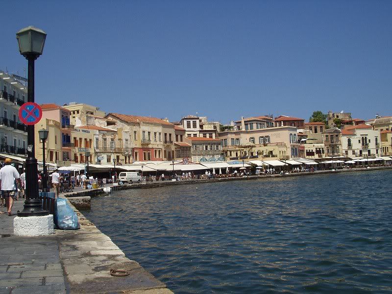
Chania
Palacio de Cnosos
Otros yacimientos arqueológicos minoicos: Festos, Malia y Hagia Triada.
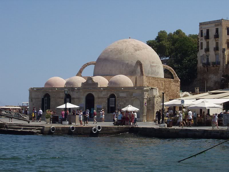
Museo arqueológico de Hania, en una antigua iglesia veneciana.
Monasterio de Toplou.
Universidad de Creta
Universidad Técnica de Creta
Crete is one of the most popular holiday destinations in Greece. Fifteen percent of all arrivals in Greece come through the city of Heraklion (port and airport), while charter journeys to Heraklion last year made up 20% of all charter flights in Greece. Overall, more than two million tourists visited Crete last year, and this increase in tourism is reflected on the number of hotel beds, rising by 53% in the period between 1986 to 1991, when the rest of Greece saw increases of only 25%. Today, the island's tourism infrastructure caters to all tastes, including a very wide range of accommodation; the island's facilities take in large luxury hotels with their complete facilities swimming pools, sports and recreation, smaller family-owned apartments, camping facilities and others. Visitors reach the island via two international airports in Heraklion and Chania, or by boat to the main ports of Heraklion, Chania, Rethimno, and Agios Nikolaos.
Cities
Crete's principal cities are:
Heraklion . Chania . Rethymno . Ierapetra . Agios Nikolaos . Sitia
Chania
Enlaces externos Crete's principal cities are:
Heraklion . Chania . Rethymno . Ierapetra . Agios Nikolaos . Sitia
Chania
Wikimedia Commons / Creta.
History of Crete
Battle of Crete
Cretan Greek
Cretan wine
Minoan civilization
Linear B
Knossos
Phaistos
Music of Crete
List of novels set in Crete
Minoan eruption
Cretan Turks
Cretan dwarf elephant
OFI Crete
Technical University of Crete
TEI of Crete
University of Crete
Former countries in Europe after 1815
List of Greek islands
Crete travel guide from Wikitravel
IraklionPortal.gr Portal for Heraklion & Crete
(Wikipedia y otras fuentes)


 .<clic


 .
.

Comentario